
Please wait, I'm coming over...

//show loading message
5/31/2010 |
Our location - Moab, UTDead Horse Point State Park |
|
Dead Horse Point is a promontory at 6000 feet elevation, with the Colorado River below. There is a narrowing of the promontory to where it is only 30 feet wide. Cowboys used to herd wild horses out onto the point and then fence the narrow point. The name came from a story where a herd of horses were driven out on the point and fenced in and left there. The horses died from lack of water, since the Colorado is 2000 feet below. |
||
click on images to enlarge |
||
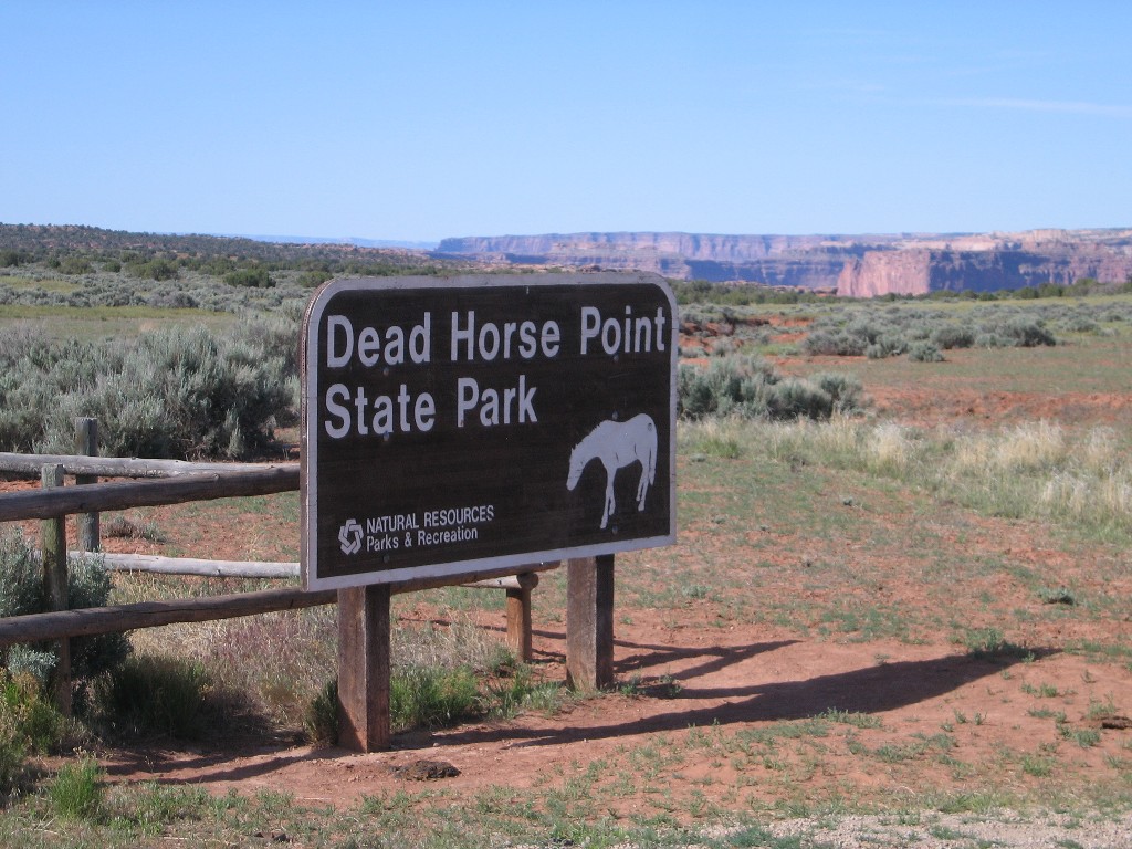 |
We are in the Dead Horse
Point State Park. The Park is a few miles from Arches National park, The Merrimac and Monitor formations named after the Civil War ships. |
 |
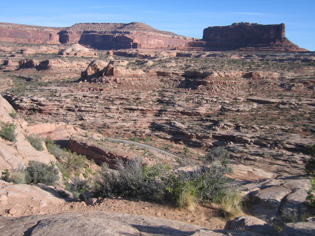 |
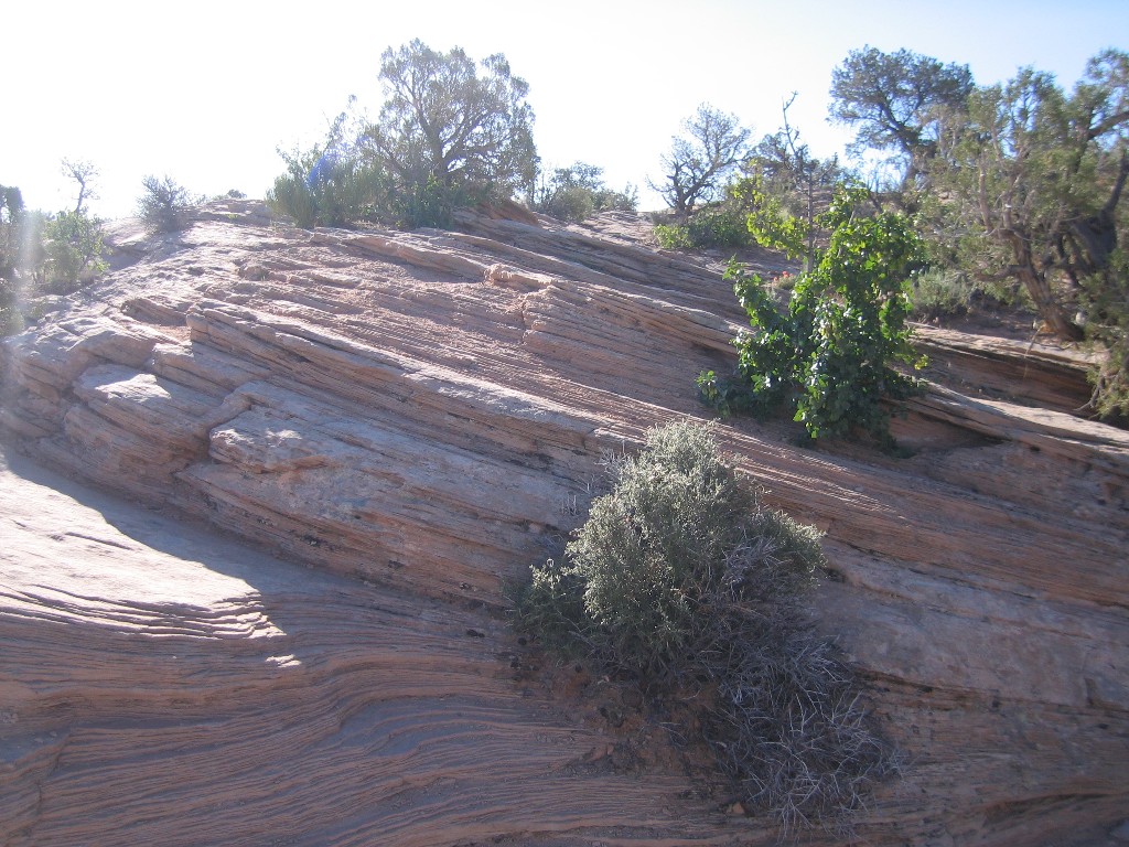
While we have seen a lot of canyons this year, they are all
different in color, texture and formation. Mother Nature is a joy to view. |
 |
click on images to enlarge |
click on images to enlarge |
|
 |
 |
|
 |
 |
|
 |
In the distance, the blue water is potash drying pools. The potash is brought out from below the surface in a slurry that is pumped into the pools. Blue dye is added to enhance the evaporation process. When the water is gone, the residue is scooped up for processing. |
 |
click on images to enlarge |
click on images to enlarge |
|
 |
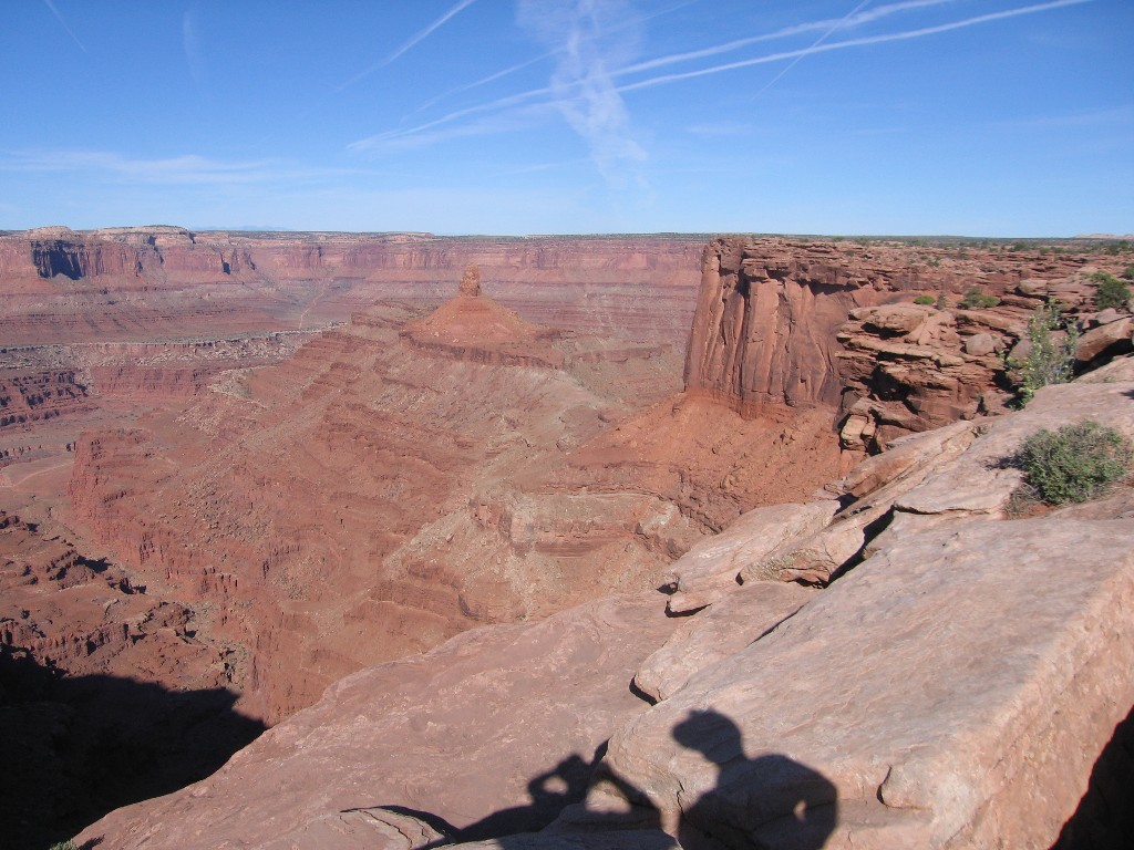
That is the Colorado River below. |
 |
 |
That is the Colorado River below. |
 |
click on images to enlarge |
click on images to enlarge |
|
Disclaimer: The information in this site is a collection of data we derived from the vendors and from our personal experiences. This information is meant as a learning guide for you to make your own decisions Best practices and code should always be followed. The recommendations we make are from our personal experiences and we do not receive any compensation for those recommendations. |